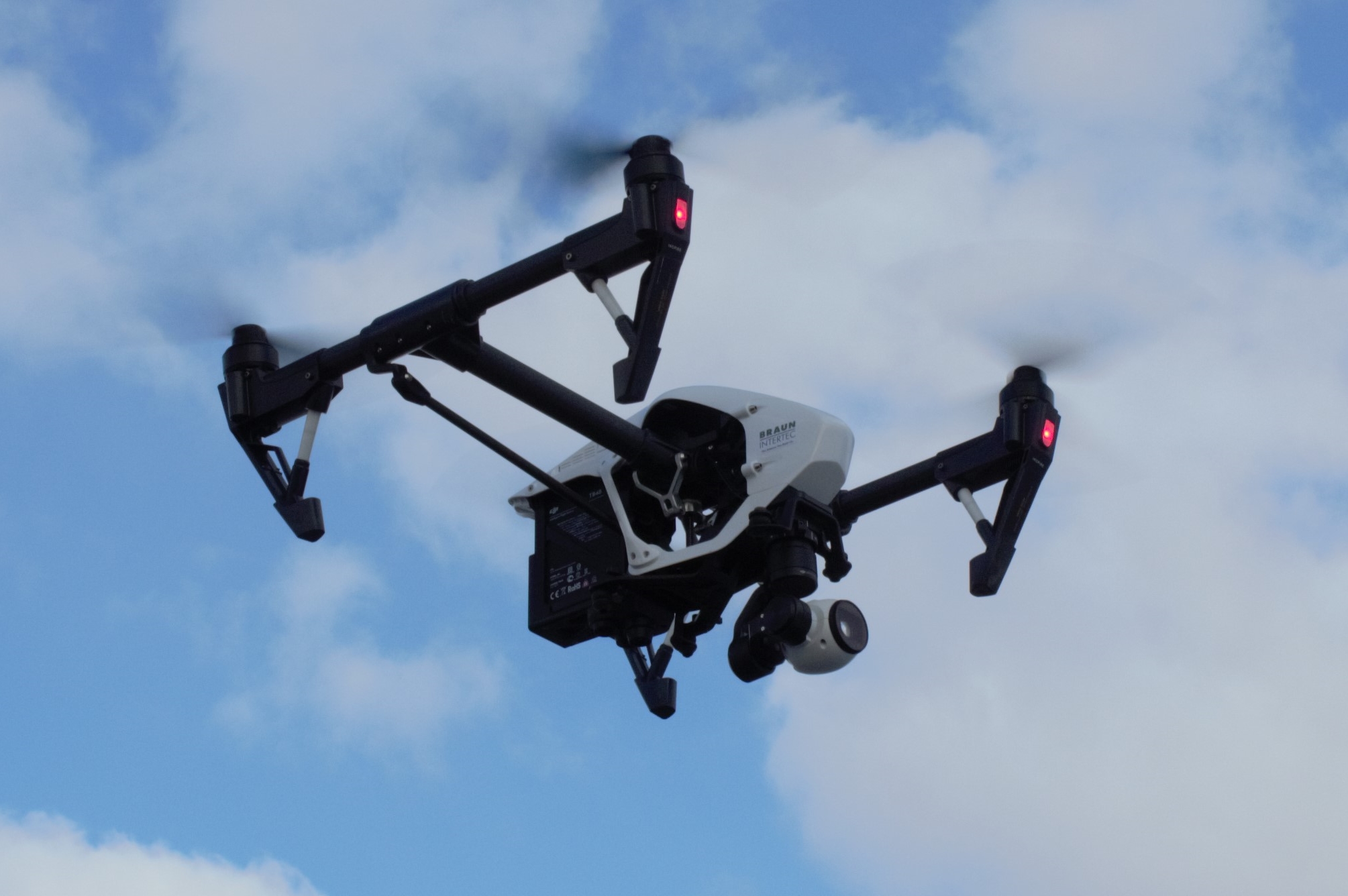
Unmanned Aerial Systems (aka “drones”) are evolving rapidly and are becoming an indispensable tool within the architecture, engineering and construction industries. Drones have the unique ability to be equipped with an array of sensors and cameras to improve data collection, reduce cost, and increase safety. But what are the implications of these new technologies and how can they add value to your next project? Find out the answer to these questions and more in our free webinar. Watch the recorded version of the webinar by completing the form below....
Read MoreTag:Geospatial Operations
Using Drones to Improve Data Collection, Lower Costs, and Increase Safety
Unmanned Aerial Systems (UAS) describes the collective equipment, software, procedures, and personnel that are centered around the use of Unmanned Aerial Vehicles (aka “UAV” or “drones”) to collect data using a variety of onboard sensors such as high resolution cameras, LiDAR, thermal imaging infrared cameras, etc. Drones have quickly become vital data collection tools for many industries, significantly increasing safety while also improving efficiency, reducing costs, and enhancing the ability to quickly and accurately evaluate site conditions. Some of the applications for UAS technologies include: Structural Investigations: UAS provides a level of documentation that can’t typically be achieved through the...
Read More